Samo's Empire in the 1st half of the 7th century
The Frankish merchant Samo, leader of the insurgent Slavs in their fight against the Avars in the 1st half of the 7th century, created a powerful tribe union after a number of victories over the Avars in Central Europe around the year 623 or 624.The territorial scope of the union referred to as Samo's Empire cannot be precisely defined because of the lack of written or archaeological sources. After Samo's death around 658, the historical sources did not mention continuation or disappearance of the empire, so further political developments in the former Samo's Empire around the 8th century cannot be either documented or excluded.
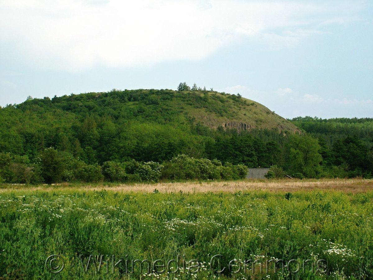
Rubín u Podbořan, one of the alleged places referred to as Wogastisburg where Samo fought a battle with the Frankish king Dagobert I in ca 631 or 632. Wikimedia Commons.
References
Lutovský, M. – Profantová, N.: Sámova říše. Praha 1995;
Měřínský, Z.: České země od příchodu Slovanů po Velkou Moravu. Praha 2009;
Semotanová, E. ‒ Cajthaml, J. a kol.: Akademický atlas českých dějin. Praha 2014, 2. akt. vydání 2016.

This work is licensed under a Creative Commons BY-NC-ND 4.0
Great Moravia in the 9th century
In the first half of the 9th century, two power centres started to emerge in south Moravia and Slovakia. The merger of both regions by Mojmir I after driving Pribina off the Nitra region in 833−836 resulted in the core of the future pre-state unit of Great Moravia. Great Moravia experienced the greatest territorial and political expansion at the end of the 9th century under Prince Svatopluk. However, a more precise definition of Great Moravia is a mere theoretical construct based on available archaeological and written sources.
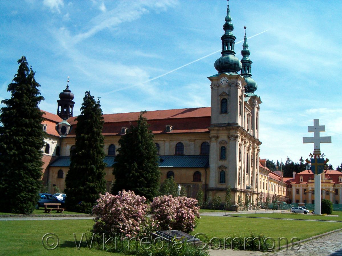
Basilica of Assumption of Mary and Sts. Cyrill and Methodius at Velehrad, identified in folk interpretation with Veligrad in Great Moravia. Wikimedia Commons.
References
Třeštík, D.: Vznik Velké Moravy. Praha 2001;
Měřínský, Z.: Morava na úsvitě dějin. Brno 2011;
Semotanová, E. ‒ Cajthaml, J. a kol.: Akademický atlas českých dějin. Praha 2014, 2. akt. vydání 2016.
This work is licensed under a Creative Commons BY-NC-ND 4.0
Bohemia in the early 10th century
After the fall of Great Moravia in the early 10th century, the centre of political life moved to Bohemia where the Czech state started to form by gradual extension of the Central Bohemian Přemyslid domain. The population of the Czech Lands and its settlements were protected by a natural barrier of mountain ranges covered by impenetrable forests through which the imaginary border line was passing. The border was missing in territories unprotected by mountains or dense forests. The settlements concentrated in the middle and lower reaches of large rivers such as the Elbe, Vltava, Ohře, Morava and Dyje.
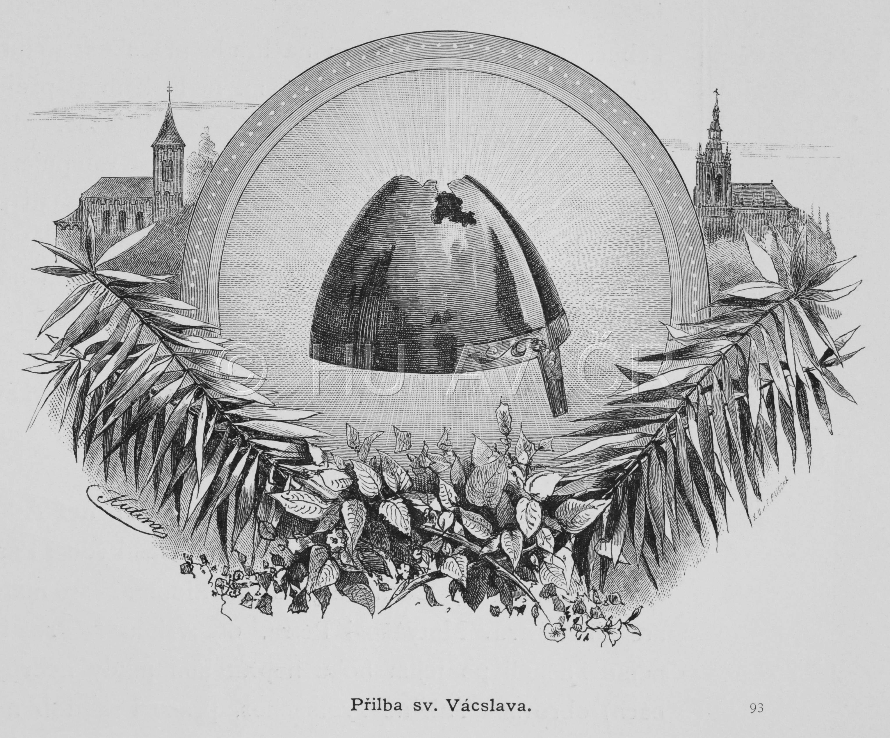
St. Wenceslas Helmet in an image from ca 1900, Institute of History, CAS
References
Žemlička, J.: Čechy v době knížecí. Praha 1997;
Sommer, P. ‒ Třeštík, D. ‒ Žemlička, J.: Přemyslovci: Budování českého státu. Praha 2009;
Semotanová, E. ‒ Cajthaml, J. a kol.: Akademický atlas českých dějin. Praha 2014, 2. akt. vydání 2016.
This work is licensed under a Creative Commons BY-NC-ND 4.0
The Czech state in the 2nd half of the 10th century
The Přemyslid dynasty ruled over the entire Bohemia and the south-Bohemian dominion of the Slavník dynasty until the 10th century. Territorial expansions outside the Duchy of Bohemia were directed to north Moravia, the Váh region, Silesia, Lesser Poland (Krakow region), Sandomierz and Red Ruthenia. The Přemyslids were pushed back to Bohemia probably as early as the 980s by the Polish Piast dynasty. In 1019, the Přemyslid Prince Oldřich re-captured Moravia from Poland (mostly the north parts of the land) and entrusted its administration to his son Břetislav, thus completing the territorial core of the Czech state.
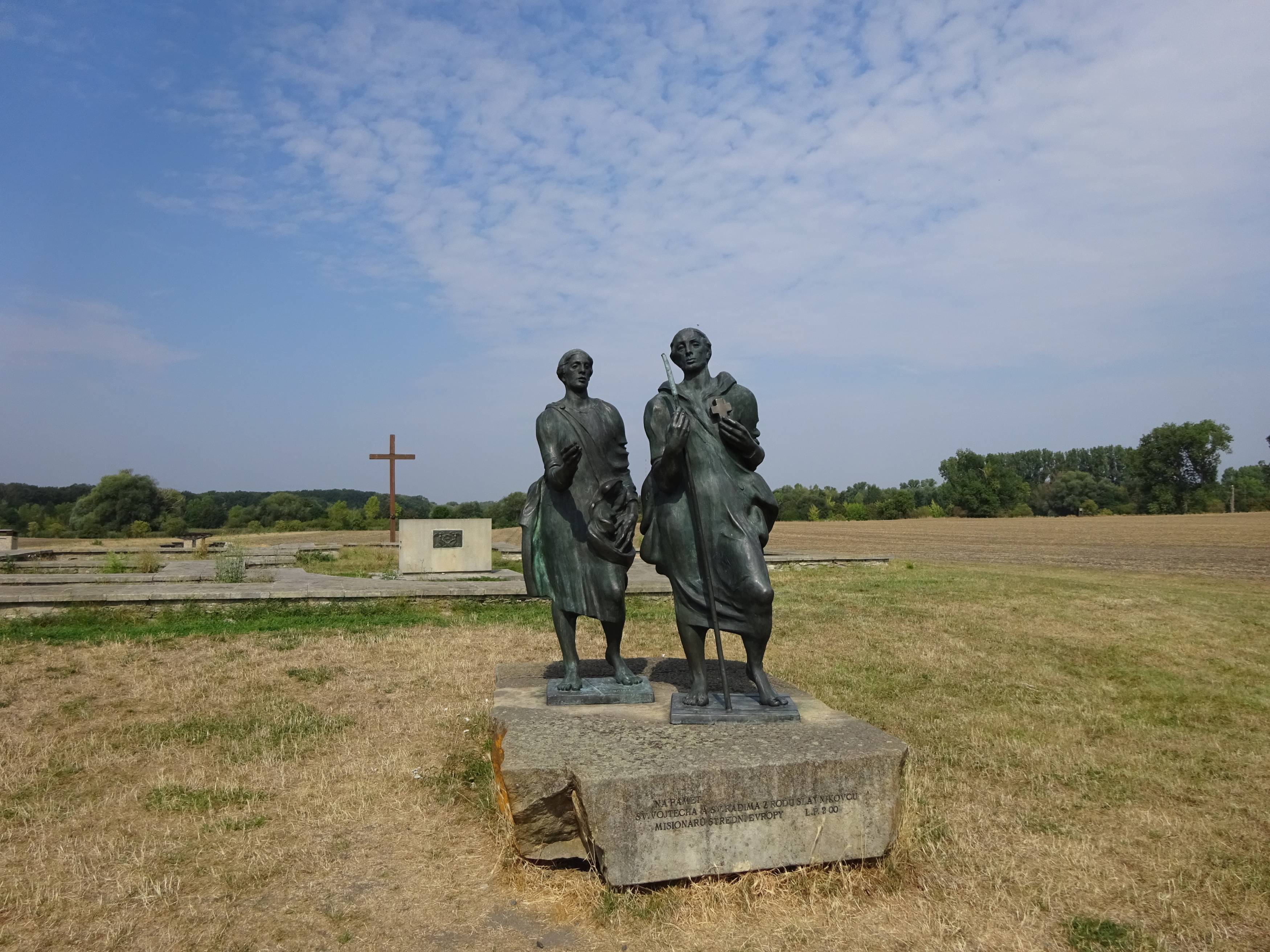
Remains of a stronghold in Libice nad Cidlinou from the second half of the 10th century. Photo Eva Semotanová
References
Žemlička, J.: Čechy v době knížecí. Praha 1997;
Sommer, P. ‒ Třeštík, D. ‒ Žemlička, J.: Přemyslovci: Budování českého státu. Praha 2009;
Semotanová, E. ‒ Cajthaml, J. a kol.: Akademický atlas českých dějin. Praha 2014, 2. akt. vydání 2016.
This work is licensed under a Creative Commons BY-NC-ND 4.0
The Czech state in the 11th and 12th centuries
Under the reign of Přemyslid Prince Břetislav in 1035-1055, Bohemia comprised of Kłodzko (probably already from the 10th century), Zittau with Záhvozdí and Vitoraz, but it did not include the regions of Cheb, Aš, Nová Bystřice and Landštejn.In the north of Moravia, Břetislav conquered a territory around Hradec nad Moravicí, thus laying foundations to the future Opava region. After an invasion of Poland in 1039, he briefly gained control of Silesia, Krakow and part of Greater Poland with Gniezno and Poznań. The Přemyslid princes gradually gained and lost several other smaller territories during the 11th and 12th centuries.
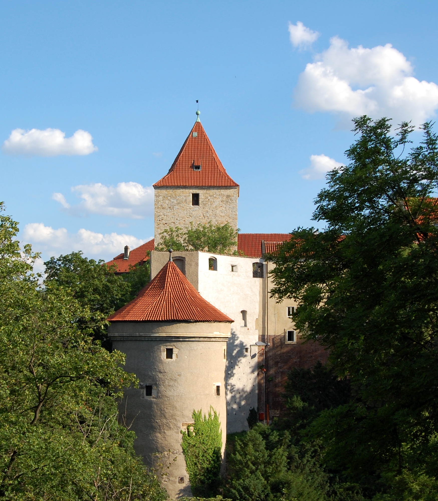
The Black Tower in Prague Castle fortification from the 12th century, Daliborka from the late 15th century in the foreground. Photo Dana Vondráčková.
References
Žemlička, J.: Čechy v době knížecí. Praha 1997;
Sommer, P. ‒ Třeštík, D. ‒ Žemlička, J.: Přemyslovci: Budování českého státu. Praha 2009;
Semotanová, E. ‒ Cajthaml, J. a kol.: Akademický atlas českých dějin. Praha 2014, 2. akt. vydání 2016.
This work is licensed under a Creative Commons BY-NC-ND 4.0