Territorial development of the Habsburg Monarchy between 1792 and 1918
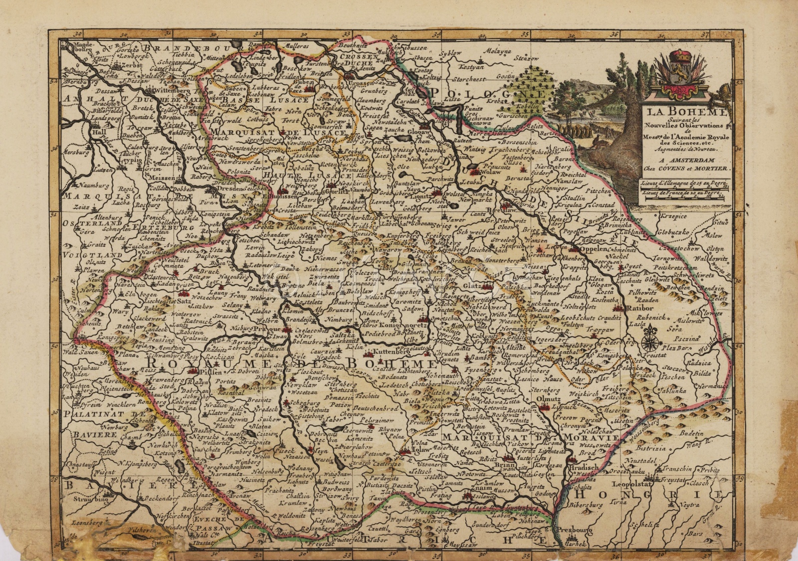
The Habsburg Monarchy lost numerous territories due to the Napoleonic Wars, but gained Istria, Dalmatia, Salzburg and Trentino. Further significant losses occurred in 1859 when, after a lost war with Sardinia, the Monarchy had to surrender Austrian Lombardy and lost control over Modena and Tuscany. After losing a war with Prussia in 1866, it lost Veneto, thus definitely vacating the Italian space. The last change in territorial development of the Habsburg Monarchy arrived with the annexation of Bosnia and Herzegovina in 1908.The aggregate of the Czech Lands remained unchanged until 1918.
Map of the Habsburg Monarchy in the first half of the 19th century. Map Collection of the Institute of History, CAS. Display map
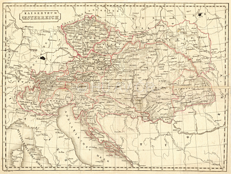
Map of Central Europe from 1895, private collection of Eva Semotanová Display map
References
Pečenka, M. – Stellner, F. – Vlčková, J. – Honzák, F.: Evropa v proměnách staletí. Praha 2001;
Hlavačka, M. a kol.: České země v 19., století. Proměny společnosti v moderní době I., II. Praha 2014;
Semotanová, E. ‒ Cajthaml, J. a kol.: Akademický atlas českých dějin. Praha 2014, 2. akt. vydání 2016.

This work is licensed under a Creative Commons BY-NC-ND 4.0
Disintegration of Austria-Hungary and successor states in 1918
At the turn of October and November 1918, Austria-Hungary disintegrated into several states referred to as the 'successor' states: Czechoslovakia (the Czechoslovak Republic), Poland, Hungary, Romania, the Kingdom of Serbs, Croats and Slovenes (since 1929 Yugoslavia) and Austria (briefly as German Austria, Deutsch Österreich, which was to be merged with Germany; however, this intention, including the name, was not allowed by the Treaty of Saint-Germain-en-Laye).This situation was accompanied by great border and territorial modifications dealt with by the Paris Peace Conference in 1919 ‒ 1920.
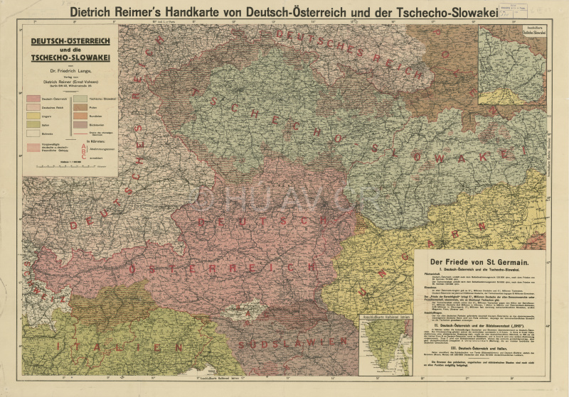
Map of the successor states establishment from 1919. Map Collection of the Institute of History, CAS. Display map
References
Dejmek, J. a kol.: Zrod nové Evropy: Versailles, St.-Germain, Trianon a dotváření poválečného mírového systému. Praha 2011;
Dejmek, J. a kol.: Československo. Dějiny státu. Praha 2018;
Semotanová, E. Zudová-Lešková, Z. ‒ Močičková, J. Cajthaml, J. ‒ Seemann, P. ‒ Bláha J. D. a kol.: Český historický atlas. Kapitoly z dějin 20. století. Praha 2019.
This work is licensed under a Creative Commons BY-NC-ND 4.0