Settlement of the Czech Lands in the mid-13th century
The populated areas were not very large in the Czech Lands in the first half of the 13th century. Consistently populated areas were located in central, north-west and east Bohemia, east and central Moravia, and in a belt extending from Olomouc to Opava. New settlers from abroad, mainly Bavaria and Saxony, settled in the emerging towns but also penetrated higher woodlands. The massif of the Bohemian-Moravian Highlands was disrupted by mining activities in the surroundings of Jihlava and Německý (Havlíčkův) Brod. South and south-west Bohemia, north Moravia and the Beskydy Range were populated later.
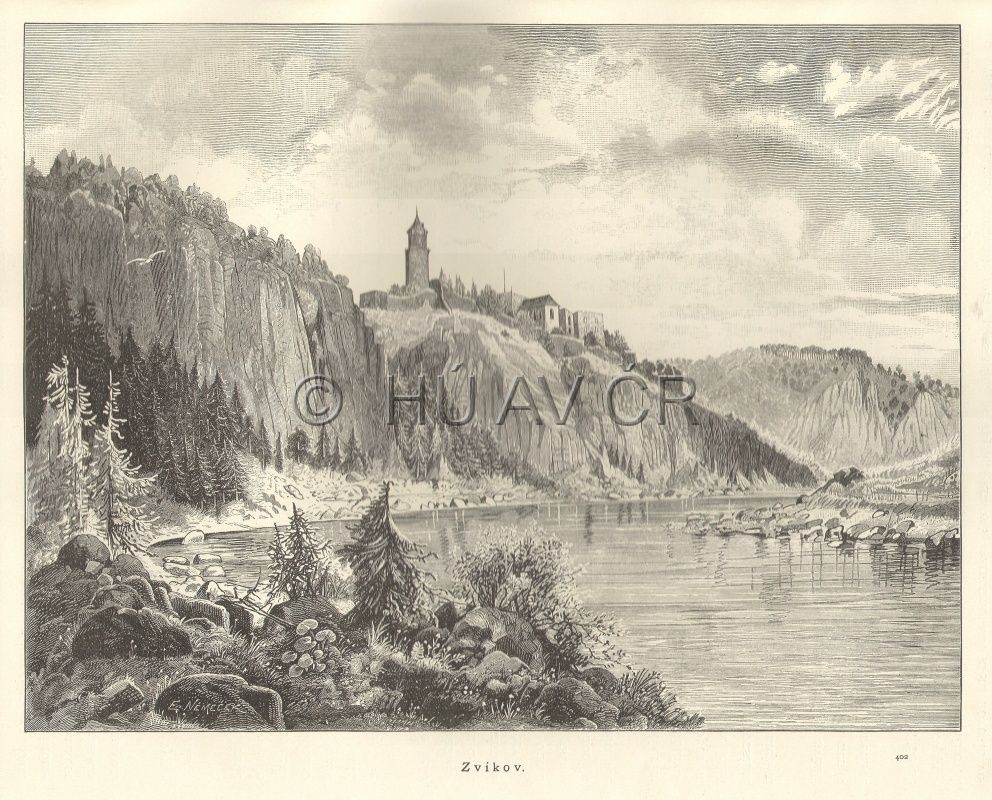
Zvíkov Castle from the first half of the 13th century, in: Ottovy Čechy II. (1884), p. 134. Library of the Institute of History, CAS.
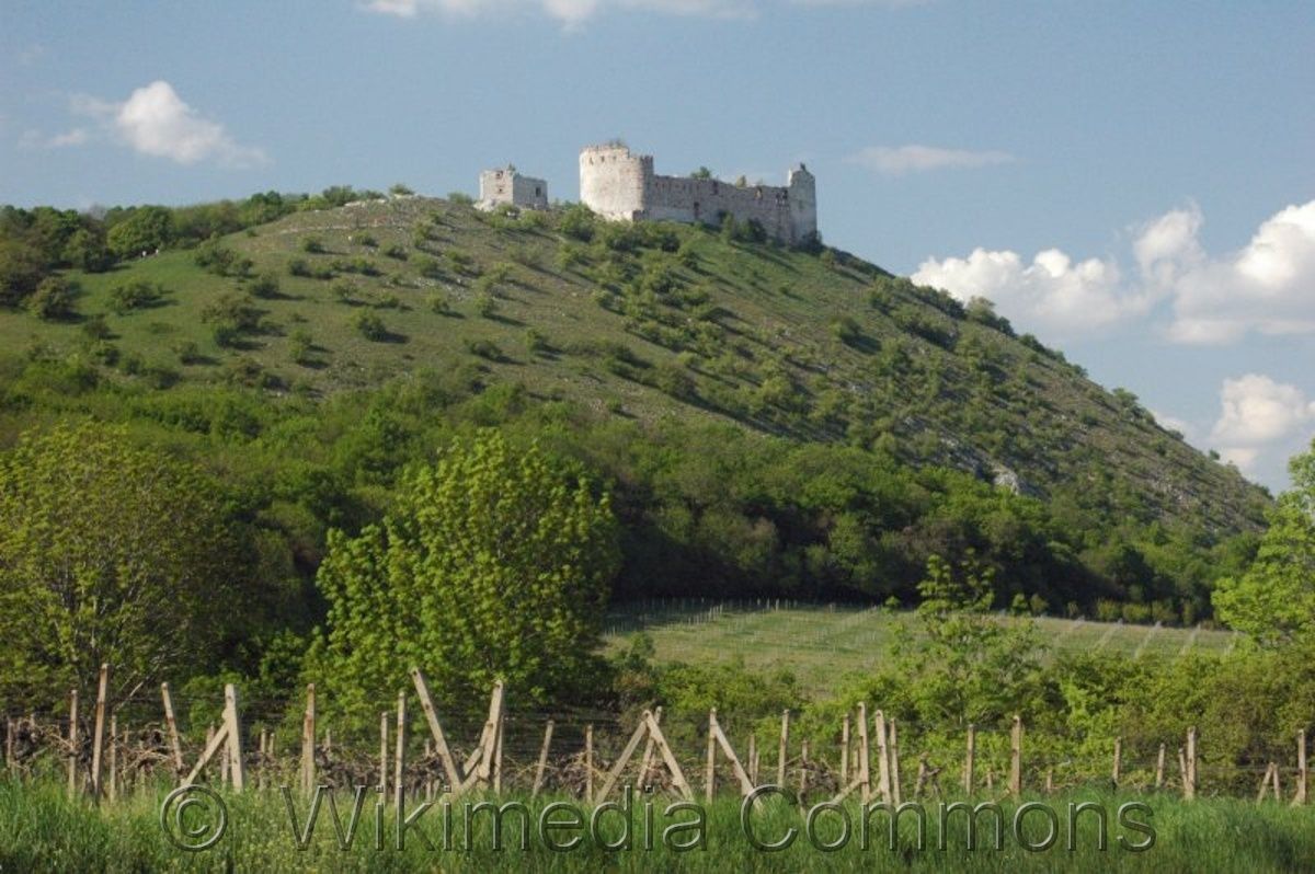
Děvičky Castle (Maidenburg) in south Moravia from the first half of the 13th century. Photo Stanislav Doronenko. Wikimedia Commons. Accessible here [verified 13/04/2020]
References
Klápště, J.: Proměna českých zemí ve středověku. Praha 2005;
Sommer, P. – Třeštík, D. – Žemlička, J. (eds.): Přemyslovci. Budování českého státu. Praha 2009;
Semotanová, E. ‒ Cajthaml, J. a kol.: Akademický atlas českých dějin. Praha 2014, 2. akt. vydání 2016.

This work is licensed under a Creative Commons BY-NC-ND 4.0
Network of European medieval towns
After the fall of the Roman Empire, some of the European towns in the space before the Limes Romanus vanished or languished, but in the 11th and 12th centuries, they were gradually revitalised and new urban settlements emerged in line with the medieval life principles. Medieval towns in the Czech Lands started to grow in the first half of the 13th century. The populations of the European towns are very rough estimates, but it is clear that in the Czech Lands, Prague was an important urban settlement.
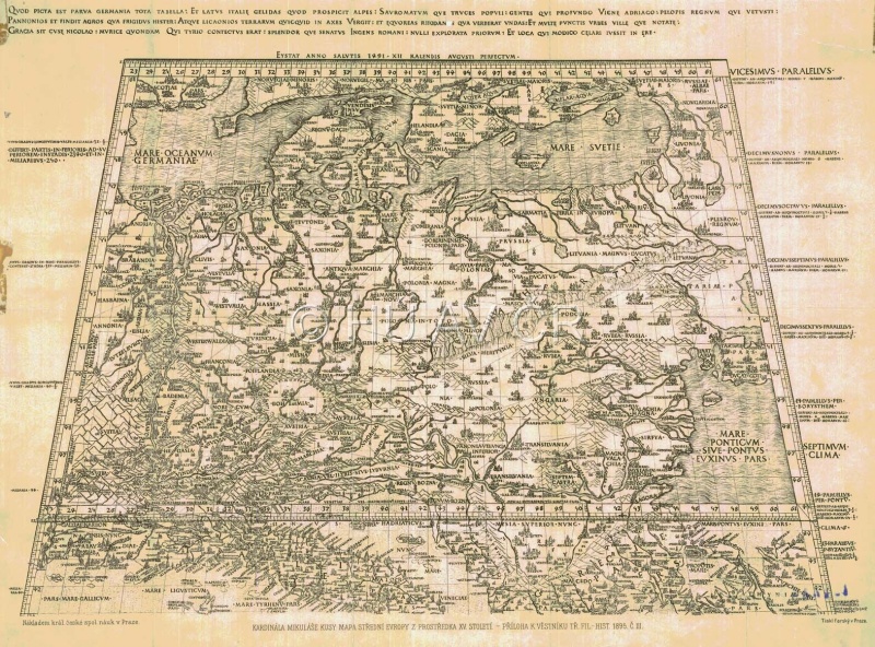
Reproduction of a map of Europe Qvod picta est parva Germania tota tabella by Mikuláš Kusánský from the 15th century, in: Metelka, Jindřich, O mapě kardinála Mikuláše Cusy z prostředka XV. století, VKČSN III. Prague 1895, 1896
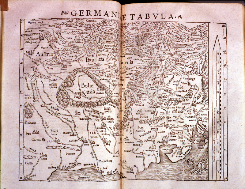
Map of Germany and Central Europe from Münster's Cosmography (1572). Cosmographiae universalis lib. VI...authore Sebastiano Munstero MDLXXII. Basilaae, ex officina Henricpetrina MDLXXII, Library of the Institute of Academy, CAS. Display map
References
Hoffmann, F.: České město ve středověku. Praha 1992;
Horská, P. – Maur, E. – Musil, J.: Zrod velkoměsta. Urbanizace českých zemí a Evropy. Praha − Litomyšl 2002;
Semotanová, E. ‒ Cajthaml, J. a kol.: Akademický atlas českých dějin. Praha 2014, 2. akt. vydání 2016.
This work is licensed under a Creative Commons BY-NC-ND 4.0
Royal cities in the Czech state at the beginning of the 14th century
Urban settlements with town privileges governing the life of the urban population started to emerge in the Czech Lands under Přemyslid Ottokar I in the first half of the 13th century. The establishment of towns by the kings of Bohemia culminated in the second half of the 13th century and early 14th century under the reign of Přemyslid Ottokar II and Wenceslas II. The towns were established near the royal castles and important market settlements (Litoměřice, Hradec Králové, Plzeň, Olomouc, Brno, and Znojmo), but also in open, strategically favourable areas (České Budějovice). In the next phase, the nobility and the church also contributed to the town establishment. Prague consisting of several independent urban settlements (Old Town, Lesser Town, and New Town since the mid-14th century) was the main centre of political power.
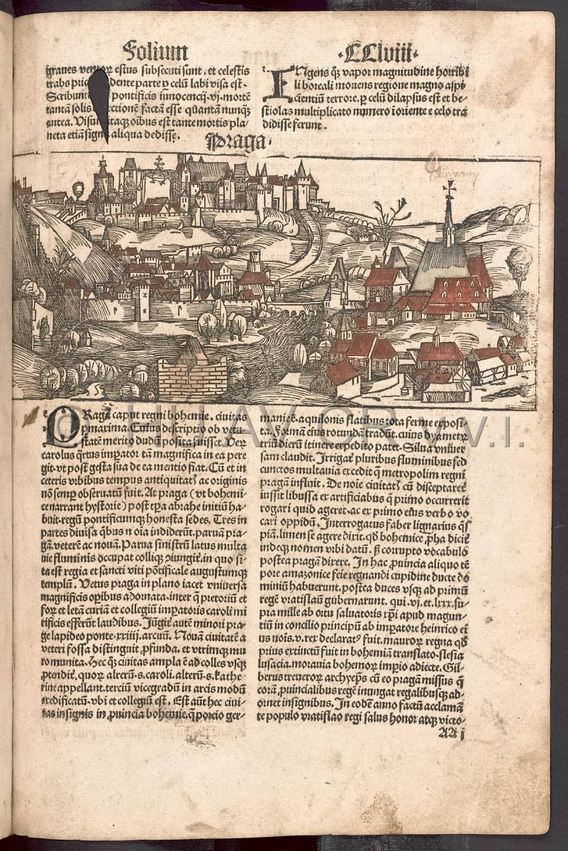
Illustration of Prague in Liber Chronicarum by Hartmann Schedel (1497). Hartmann Schedel, Liber chronicarum. Cum additamentis Hieronymi Münzer, Augsburg 1497. Library of the Institute of History, CAS.
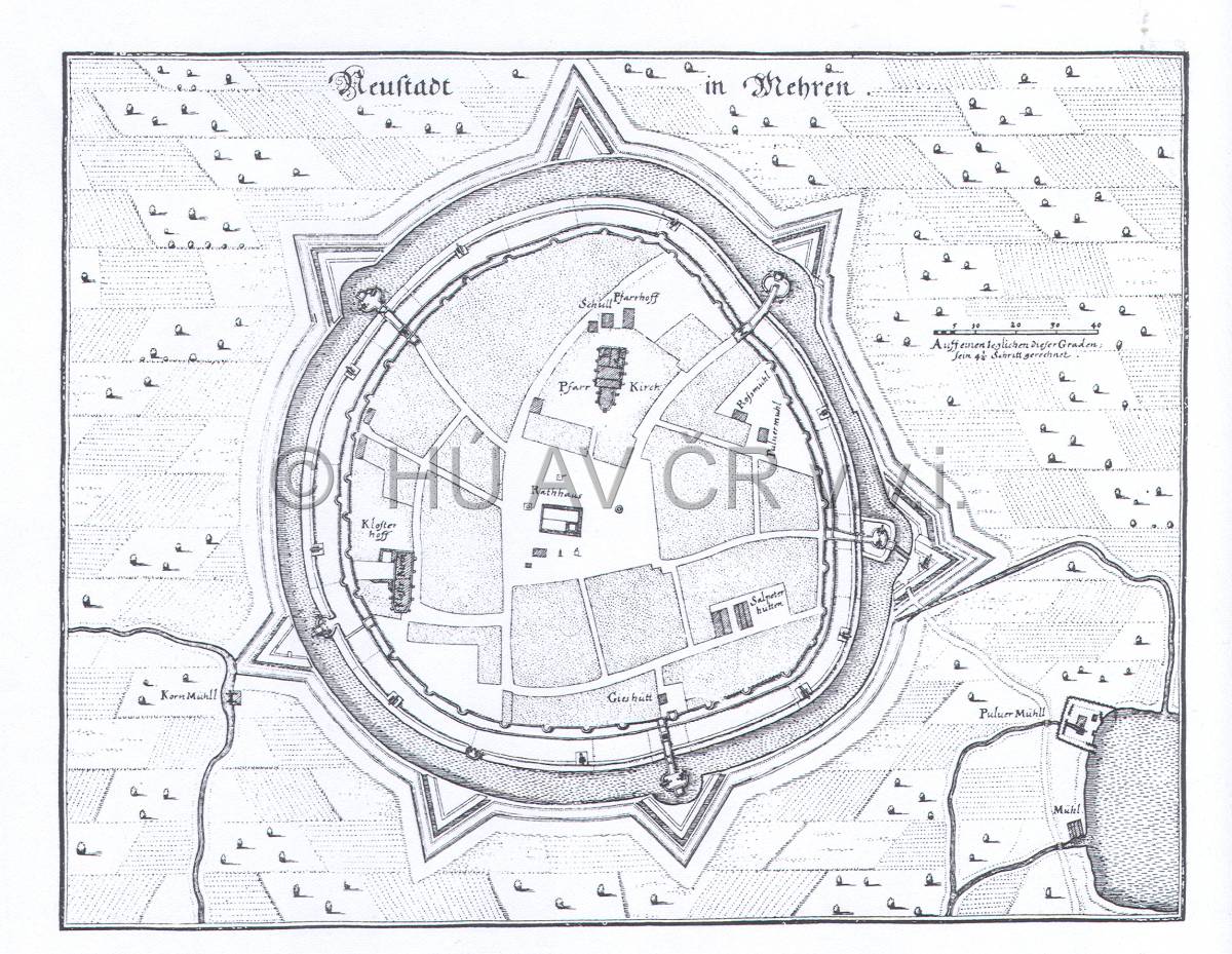
Uničov on the map of Matthäus Merian (1650). Map Collection of the Institute of History, CAS.
References
Klápště, J.: Proměna českých zemí ve středověku. Praha 2005;
Kuča, K.: Města a městečka v Čechách, na Moravě a ve Slezsku. I−VII, Praha 1996−2008;
Semotanová, E. ‒ Cajthaml, J. a kol.: Akademický atlas českých dějin. Praha 2014, 2. akt. vydání 2016.
This work is licensed under a Creative Commons BY-NC-ND 4.0
Dowry towns of the queens of Bohemia
The royal cities in the Czech Lands included the so-called dowry towns, i.e. urban settlements registered by the kings of Bohemia as dowry pledges to their wives. As a result, they served to the queens of Bohemia as the source of income. This fact is still reflected in the names of some dowry towns: Hradec Králové and Dvůr Králové. In some cases, they also served as the widow's residence; for a certain period, Hradec Králové was the residence of Elizabeth Richeza, the widow of King Wenceslas II. At the beginning of the 14th century, she established the Cathedral of the Holy Spirit in today's Velké náměstí, probably in place of an earlier burned church.
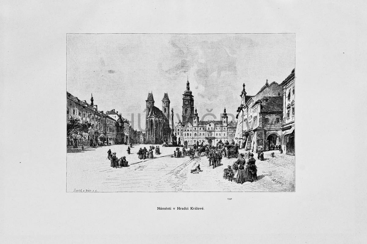
Square in Hradec Králové, in: Ottovy Čechy IV (1888). Library of the Institute of History, CAS.
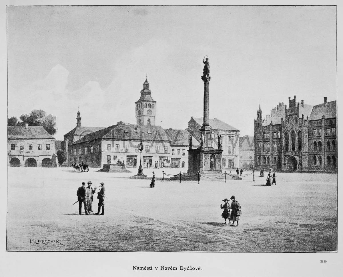
Square in Nový Bydžov, in: Ottovy Čechy XIV (1908). Library of the Institute of History, CAS.
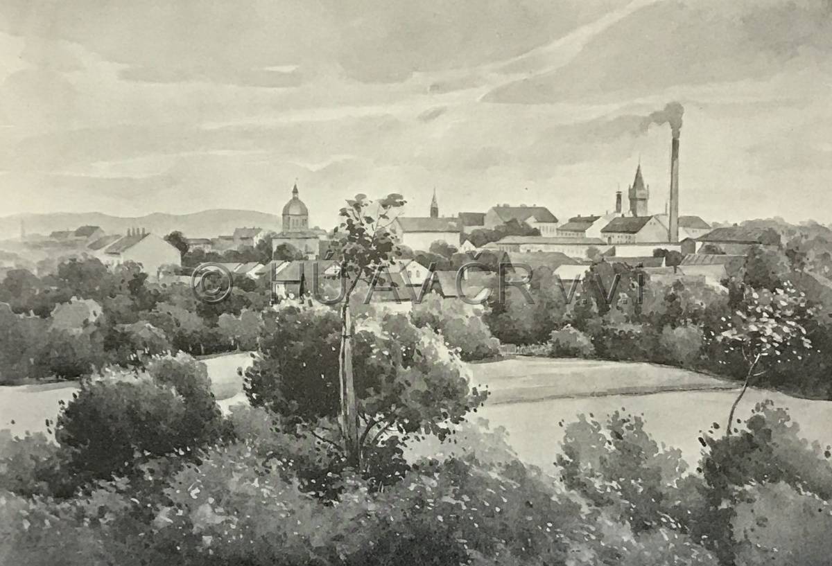
View of Dvůr Králové, in: Ottovy Čechy XIV (1908). Library of the Institute of History, CAS.
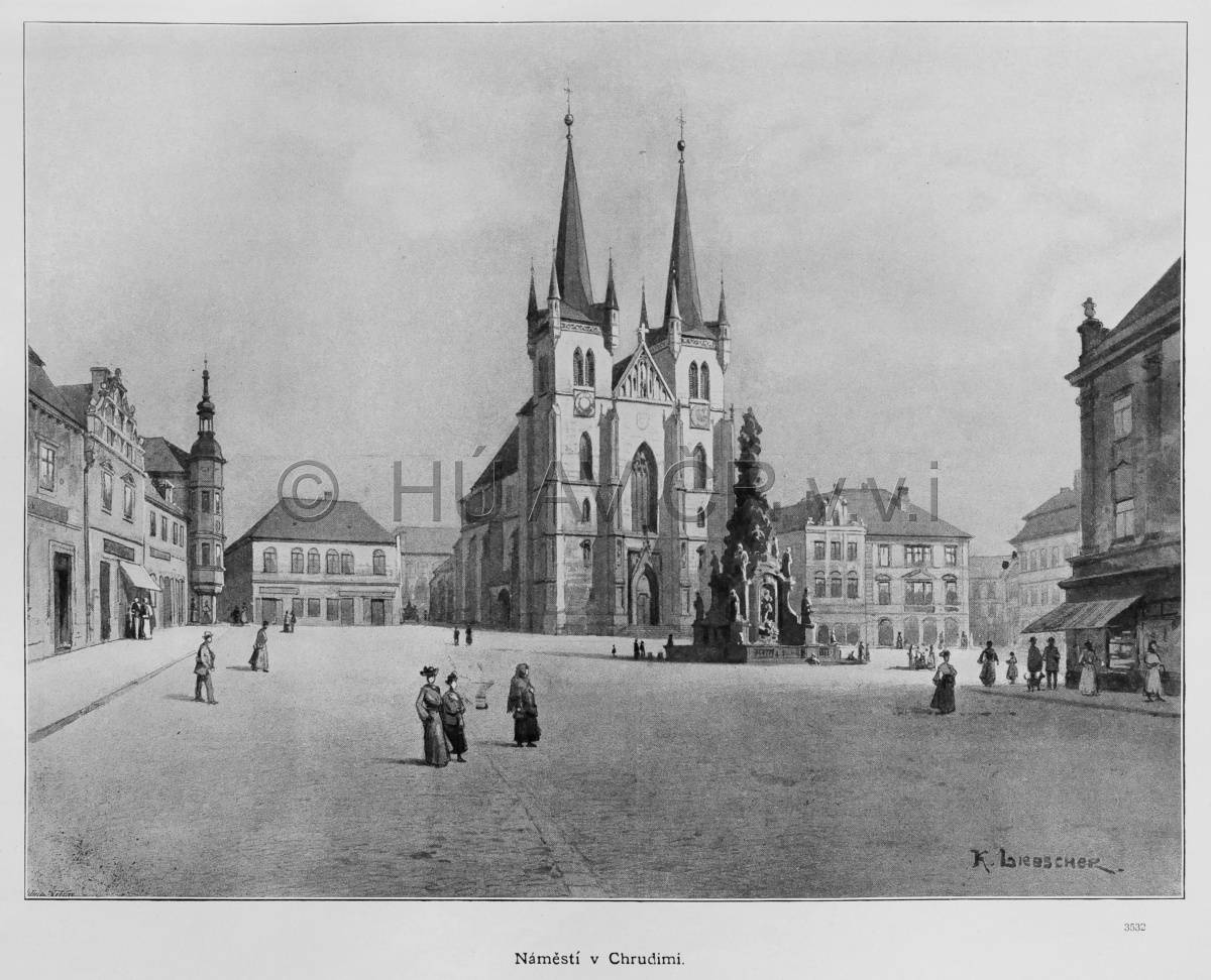
Square in Chrudim, in: Ottovy Čechy XIII (1905). Library of the Institute of History, CAS.
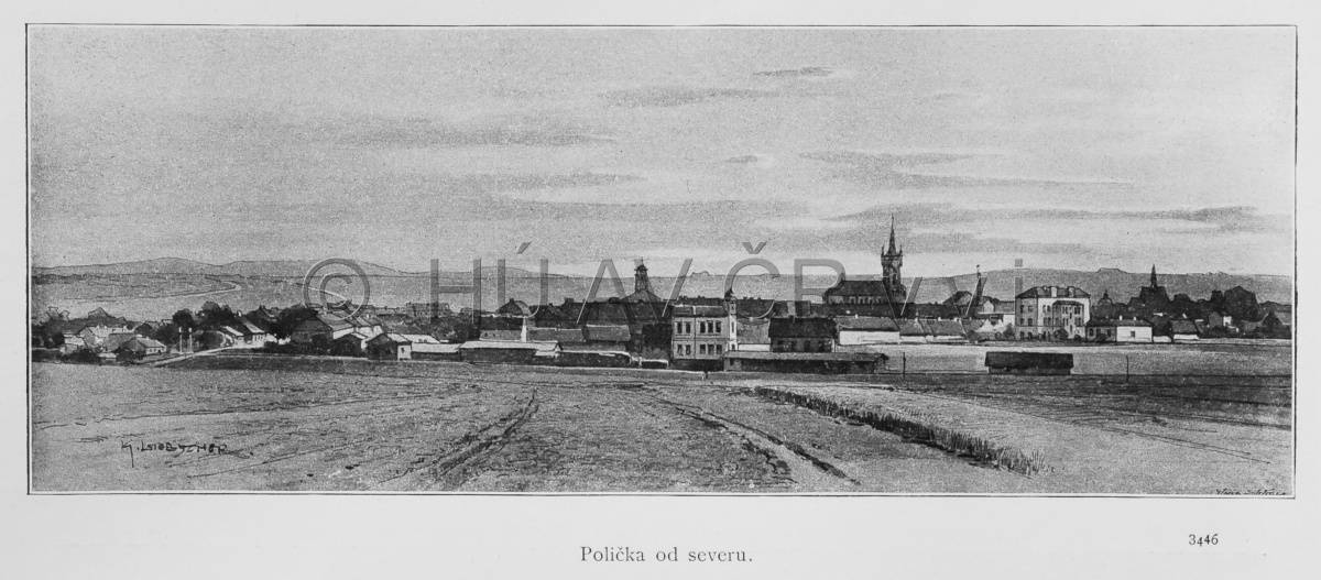
View of Polička, in: Ottovy Čechy XIII (1905). Library of the Institute of History, CAS.
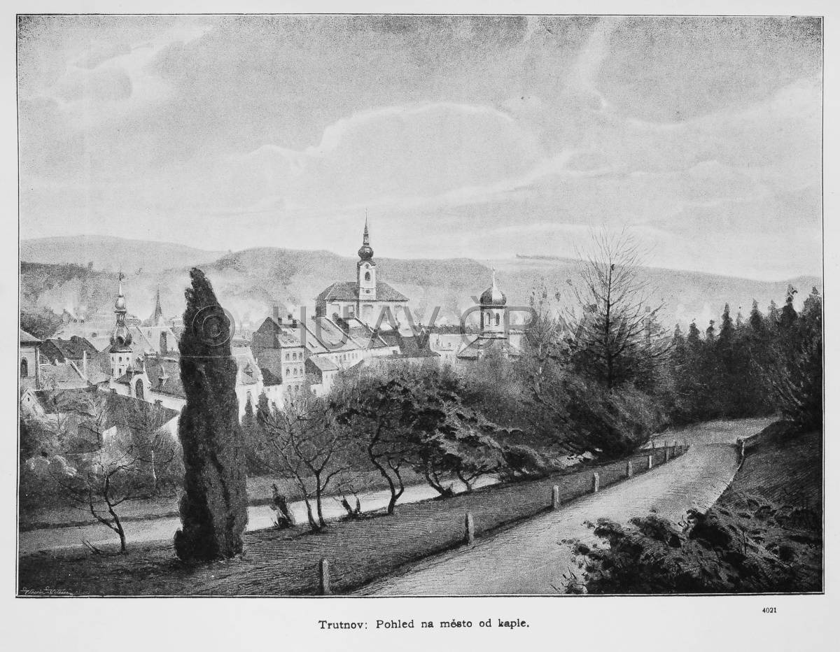
View of Trutnov, in: Ottovy Čechy XIV (1908). Library of the Institute of History, CAS.
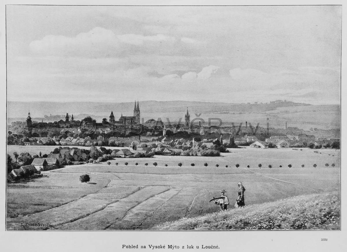
View of Vysoké Mýto, in: Ottovy Čechy XIII (1905). Library of the Institute of History, CAS.
References
Hoffmann, F.: České město ve středověku. 1. vyd. Praha 1992;
Žemlička, J.: Království v pohybu. Praha 2014;
Semotanová, E. ‒ Cajthaml, J. a kol.: Akademický atlas českých dějin. Praha 2014, 2. akt. vydání 2016.
This work is licensed under a Creative Commons BY-NC-ND 4.0